Canadian satellites: Our Eyes in the Sky
Look up. Way up. Do you see that thing in the night sky that looks like a star but is zooming by, faster than a plane? Chances are you've spotted a satellite. For years now, we've all taken for granted that these space machines have been bringing us our daily weather reports and favourite live TV programs or huge sporting events like the Olympics. But there's more to space science and technology than what we see on the tube.
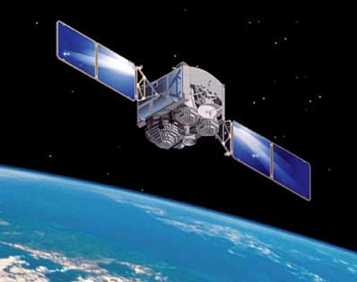
We tend to take our satellites for granted. But the truth is, we're simply not aware that they provide us with essential information every day. For example, RADARSAT-1 and RADARSAT-2, Canada's largest satellites, can provide key information on our most important commodity, water. They also help to manage and take better action for the safety of the population and essential infrastructure like bridges.
To monitoring the world's oceans, Canada provides highly precise data supporting operational applications such as ship and iceberg detection; oil spill monitoring; wind and surface-wave field estimation. Radarsat-2 has greatly improved the quality of images actively supporting iceberg and ship detection, absolutely critical for securing safe navigation in Canada's ice infested waters..
"Early on, the Canadian Government built the space program to focus on key priorities like protecting our sovereignty and security, linking our communities, monitoring natural disasters and protecting our environment," said Luc Br�l�, Director General of Space Utilization at the Canadian Space Agency. "This type of work helps us stay competitive and productive, allowing us to achieve an even higher standard of living and better quality of life.
"One key example is flooding; it is one of the most costly natural disasters in Canada in terms of property damage. Flooding can occur in any region, in the countryside or in cities, at virtually any time of the year. They have affected hundreds of thousands of Canadians," said Mr. Denis Auger, Head of Earth Observation, Applications and Utilization at the Canadian Space Agency.
Although these people suffered a great deal, Canadian satellites RADARSAT-1 and RADARSAT-2 were able to provide data about the severity of the disaster. "With the data provided by these two satellites, local officials were able to make quick decisions on how to act and measure the extent of the affected areas" said Denis Auger. "This is particularly important when a major disaster affects thousands of people. The emergency response was effective at getting the people the help and protection they need
For more information about the Canadian Space Agency and its Earth Observation program, visit: www.asc-csa.gc.ca
www.newscanada.com

